Choose Which Site You Want To See


Ordnance Survey Landranger Active 80 Cheviot Hills & Kielder Water Map With Digital Version, Orange: The OS Landranger Map is the ideal map for planning the perfect day out. This best known national map series provides...
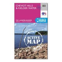
Ordnance Survey Landranger Active 80 Cheviot Hills & Kielder Water Map With Digital Version, Orange: The OS Landranger Map is the ideal map for planning the perfect day out. This best known national map series provides...

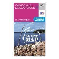
Ordnance Survey Landranger Active 80 Cheviot Hills & Kielder Water Map With Digital Version - Orange, Orange: The OS Landranger Map is the ideal map for planning the perfect day out. This best known national map series provides...

Ordnance Survey Landranger Active 80 Cheviot Hills & Kielder Water Map With Digital Version - Orange, Orange: The OS Landranger Map is the ideal map for planning the perfect day out. This best known national map series provides...
Landranger Active 80 Cheviot Hills & Kielder Water Map With Digital Version: The OS Landranger Map is the ideal map for planning the perfect day out. This best known national map series provides...

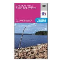
Ordnance Survey Landranger 80 Cheviot Hills & Kielder Water Map With Digital Version, Orange: The OS Landranger Map is the ideal map for planning the perfect day out. This best known national map series provides...

Ordnance Survey Landranger 80 Cheviot Hills & Kielder Water Map With Digital Version, Orange: The OS Landranger Map is the ideal map for planning the perfect day out. This best known national map series provides...
Ordnance Survey Landranger 80 Cheviot Hills & Kielder Water Map With Digital Version - Orange, Orange: This map comes with a digital version which you can download to your smartphone or tablet. Go to OS.uk/redeem for more...

Ordnance Survey Landranger 80 Cheviot Hills & Kielder Water Map With Digital Version - Orange, Orange: This map comes with a digital version which you can download to your smartphone or tablet. Go to OS.uk/redeem for more...

Ordnance Survey Explorer Active 190 Malvern Hills & Bredon Hill Map With Digital Version, Orange: The essential map for outdoor activities in all weathers in Malvern Hills and Bredon Hill. The OS Explorer Active Map...

Ordnance Survey Explorer Active 329 Lowther Hills, Sanquhar & Leadhills Map With Digital Version, Orange: The essential map for outdoor activities in all weathers in Lowther Hills, Sanquhar and Leadhills. The OS Explorer...
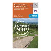
Ordnance Survey Explorer Active 190 Malvern Hills & Bredon Hill Map With Digital Version, Orange: The essential map for outdoor activities in all weathers in Malvern Hills and Bredon Hill. The OS Explorer Active Map...
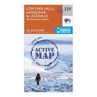
Ordnance Survey Explorer Active 329 Lowther Hills, Sanquhar & Leadhills Map With Digital Version, Orange: The essential map for outdoor activities in all weathers in Lowther Hills, Sanquhar and Leadhills. The OS Explorer...
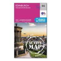
Ordnance Survey Landranger Active 66 Edinburgh, Penicuik & North Berwick Map With Digital Version, Orange: The OS Landranger Map is the ideal map for planning the perfect day out. This best known national map series provides...
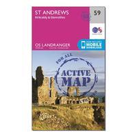
Ordnance Survey Landranger Active 59 St Andrews, Kirkcaldy & Glenrothes Map With Digital Version, Orange: The OS Landranger Map is the ideal map for planning the perfect day out. This best known national map series provides...
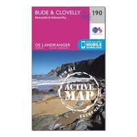
Ordnance Survey Landranger Active 190 Bude & Clovelly, Boscastle & Holsworthy Map With Digital Version, Orange: The OS Landranger Map is the ideal map for planning the perfect day out. This best known national map series provides...
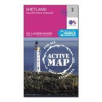
Ordnance Survey Landranger Active 2 Shetland Sullom Voe & Whalsay Map With Digital Version, Orange: The OS Landranger Map is the ideal map for planning the perfect day out. This best known national map series provides...
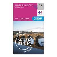
Ordnance Survey Landranger Active 29 Banff & Huntly, Portsoy & Turriff Map With Digital Version, Orange: The OS Landranger Map is the ideal map for planning the perfect day out. This best known national map series provides...
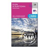
Ordnance Survey Landranger Active 28 Elgin, Dufftown, Buckie & Keith Map With Digital Version, Orange: The OS Landranger Map is the ideal map for planning the perfect day out. This best known national map series provides...
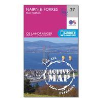
Ordnance Survey Landranger Active 27 Nairn & Forres, River Findhorn Map With Digital Version, Orange: The OS Landranger Map is the ideal map for planning the perfect day out. This best known national map series provides...
