Choose Which Site You Want To See


Ordnance Survey Explorer Ol 49 Pitlochry & Loch Tummel Map, Orange: The essential map for outdoor activities in Pitlochry and Loch Tummel. The OS Explorer Map is the Ordnance Survey\'s...
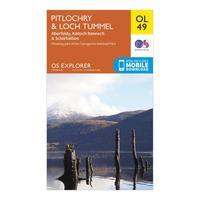
Ordnance Survey Explorer Ol 49 Pitlochry & Loch Tummel Map, Orange: The essential map for outdoor activities in Pitlochry and Loch Tummel. The OS Explorer Map is the Ordnance Survey\'s...

Ordnance Survey Explorer Active Ol49 Pitlochry & Loch Tummel Map With Digital Version - Orange, Orange: Providing complete GB coverage, the OS Explorer map series details information essential in the great outdoors,...

Ordnance Survey Explorer Active Ol49 Pitlochry & Loch Tummel Map With Digital Version - Orange, Orange: Providing complete GB coverage, the OS Explorer map series details information essential in the great outdoors,...

Ordnance Survey Active Explorer Ol 49 Pitlochry & Loch Tummel Map, Orange: The Active Explorer OL 49 is a detailed weatherproof map which shows Loch Tummel, eastern Loch Rannoch and the towns...

Ordnance Survey Active Explorer Ol 49 Pitlochry & Loch Tummel Map, Orange: The Active Explorer OL 49 is a detailed weatherproof map which shows Loch Tummel, eastern Loch Rannoch and the towns...
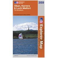
Ordnance Survey Explorer 359 Oban, Kerrera & Loch Melfort Map: With the 1:25000 scale Ordnance Survey Explorer 359 Oban, Kerrera & Loch Melfort Map you are sure to find all the best...

Ordnance Survey Explorer 359 Oban, Kerrera & Loch Melfort Map: With the 1:25000 scale Ordnance Survey Explorer 359 Oban, Kerrera & Loch Melfort Map you are sure to find all the best...
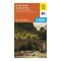
Ordnance Survey Explorer Ol 52 Glen Shee & Braemar Map, Orange: The essential map for outdoor activities in Pitlochry and Loch Tummel. The OS Explorer Map is the Ordnance Survey\'s...

Ordnance Survey Explorer Ol 52 Glen Shee & Braemar Map, Orange: The essential map for outdoor activities in Pitlochry and Loch Tummel. The OS Explorer Map is the Ordnance Survey\'s...

Explorer Ol 49 Pitlochry & Loch Tummel Map: The essential map for outdoor activities in Pitlochry and Loch Tummel. The OS Explorer Map is the Ordnance Surveys...

Active Explorer Ol 49 Pitlochry & Loch Tummel Map: The Active Explorer OL 49 is a detailed weatherproof map which shows Loch Tummel, eastern Loch Rannoch and the towns...
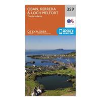
Ordnance Survey Explorer 359 Oban, Kerrera & Loch Melfort Map With Digital Version, Orange: The essential map for outdoor activities in Oban, Kerrera and Loch Melfort. The OS Explorer Map is the Ordnance...
Ordnance Survey Explorer 456 North Harris & Loch Seaforth Map With Digital Version, Orange: The essential map for outdoor activities in North Harris and Loch Seaforth. The OS Explorer Map is the Ordnance...

Ordnance Survey Explorer 448 Strath Naver & Loch Loyal Map With Digital Version, Orange: The essential map for outdoor activities in Strath Naver and Loch Loyal. The OS Explorer Map is the Ordnance Survey\'s...
Ordnance Survey Explorer Active 434 Gairloch & Loch Ewe Map With Digital Version, Orange: The essential map for outdoor activities in all weathers in Gairloch and Loch Ewe. The OS Explorer Active Map is the...

Ordnance Survey Explorer 359 Oban, Kerrera & Loch Melfort Map With Digital Version, Orange: The essential map for outdoor activities in Oban, Kerrera and Loch Melfort. The OS Explorer Map is the Ordnance...
Ordnance Survey Explorer 448 Strath Naver & Loch Loyal Map With Digital Version, Orange: The essential map for outdoor activities in Strath Naver and Loch Loyal. The OS Explorer Map is the Ordnance Survey\'s...

Ordnance Survey Explorer Active 434 Gairloch & Loch Ewe Map With Digital Version, Orange: The essential map for outdoor activities in all weathers in Gairloch and Loch Ewe. The OS Explorer Active Map is the...

Ordnance Survey Explorer 456 North Harris & Loch Seaforth Map With Digital Version, Orange: The essential map for outdoor activities in North Harris and Loch Seaforth. The OS Explorer Map is the Ordnance...
