Choose Which Site You Want To See


Ordnance Survey Active Explorer Ol 37 Cowal East Map, Orange: The Active Explorer OL 37 is a detailed weatherproof map which covers Cowal East, Dunoon and Inveraray, and replaces...
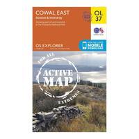
Ordnance Survey Active Explorer Ol 37 Cowal East Map, Orange: The Active Explorer OL 37 is a detailed weatherproof map which covers Cowal East, Dunoon and Inveraray, and replaces...

Active Explorer Ol 37 Cowal East Map: The Active Explorer OL 37 is a detailed weatherproof map which covers Cowal East, Dunoon and Inveraray, and replaces...

Ordnance Survey Active Explorer Ol 46 The Trossachs Map, Assorted: The Active Explorer OL 46 is a detailed weatherproof map which covers an area in the north east of the Loch Lomond and...
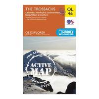
Ordnance Survey Active Explorer Ol 46 The Trossachs Map, Assorted: The Active Explorer OL 46 is a detailed weatherproof map which covers an area in the north east of the Loch Lomond and...
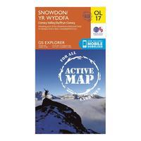
Ordnance Survey Active Explorer Ol 17 Snowdon Map, Orange: Looking to uncover the secrets of Snowdon and the Snowdonia National Park? Then the Explorer OL 17 from Ordnance Survey...

Ordnance Survey Active Explorer Ol 17 Snowdon Map, Orange: Looking to uncover the secrets of Snowdon and the Snowdonia National Park? Then the Explorer OL 17 from Ordnance Survey...
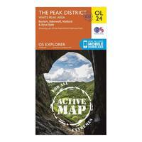
Ordnance Survey Active Explorer Ol 24 The Peak District (white Peak Area) Map, Orange: Your essential weatherproof guide to The Peak District, the Active Explorer OL 24 from Ordnance Survey is a detailed...

Ordnance Survey Active Explorer Ol 24 The Peak District (white Peak Area) Map, Orange: Your essential weatherproof guide to The Peak District, the Active Explorer OL 24 from Ordnance Survey is a detailed...

Ordnance Survey Active Explorer Ol 48 Ben Lawers & Glen Lyon Map, Orange: The Active Explorer OL 48 is a detailed weatherproof map which covers a wide area from Loch Lyon to Loch Tay. A...

Ordnance Survey Active Explorer Ol 49 Pitlochry & Loch Tummel Map, Orange: The Active Explorer OL 49 is a detailed weatherproof map which shows Loch Tummel, eastern Loch Rannoch and the towns...
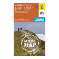
Ordnance Survey Active Explorer Ol 47 Crieff, Comrie & Glen Artney Map, Orange: The Active Explorer OL 47 is a detailed weatherproof map which covers Crieff, Comrie and the surrounding areas...

Ordnance Survey Active Explorer Ol 39 Loch Lomond North Map, Orange: The Active Explorer OL 39 is a detailed weatherproof map which covers the northern area of Loch Lomond and the towns of...

Ordnance Survey Active Explorer Ol 47 Crieff, Comrie & Glen Artney Map, Orange: The Active Explorer OL 47 is a detailed weatherproof map which covers Crieff, Comrie and the surrounding areas...
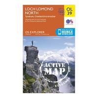
Ordnance Survey Active Explorer Ol 39 Loch Lomond North Map, Orange: The Active Explorer OL 39 is a detailed weatherproof map which covers the northern area of Loch Lomond and the towns of...

Ordnance Survey Active Explorer Ol 49 Pitlochry & Loch Tummel Map, Orange: The Active Explorer OL 49 is a detailed weatherproof map which shows Loch Tummel, eastern Loch Rannoch and the towns...
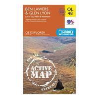
Ordnance Survey Active Explorer Ol 48 Ben Lawers & Glen Lyon Map, Orange: The Active Explorer OL 48 is a detailed weatherproof map which covers a wide area from Loch Lyon to Loch Tay. A...

Ordnance Survey Os Landranger 140 Leicester, Coventry & Rugby Map - Orange, Orange: Find all the best places of interest, campsites, walks, vantage points and much more with the 1:50000 scale OS...
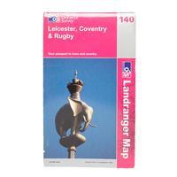
Ordnance Survey Os Landranger 140 Leicester, Coventry & Rugby Map - Orange, Orange: Find all the best places of interest, campsites, walks, vantage points and much more with the 1:50000 scale OS...
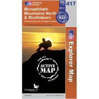
Ordnance Survey Explorer Active 417 Monadhliath Mountains North & Strathdearn Map, Orange: Find all the best walks, routes, landmarks, points of interest and some terrific scenic drives with the wipe-clean...
