Choose Which Site You Want To See


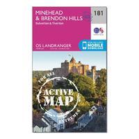
Ordnance Survey Landranger Active 181 Minehead & Brendon Hills, Dulverton & Tiverton Map With Digital Version - Orange, Orange: The OS Landranger Map Active is tough, durable and weatherproof. The maps are covered in a lightweight protective...
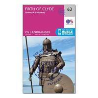
Ordnance Survey Landranger Active 63 Firth Of Clyde, Greenock & Rothesay Map With Digital Version - Orange, Orange: The OS Landranger Map Active is tough, durable and weatherproof. The maps are covered in a lightweight protective...
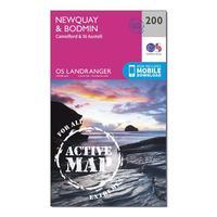
Ordnance Survey Landranger Active 200 Newquay, Bodmin, Camelford & St Austell Map With Digital Version - Orange, Orange: The OS Landranger Map Active is tough, durable and weatherproof. The maps are covered in a lightweight protective...
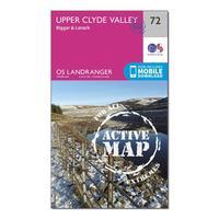
Ordnance Survey Landranger Active 72 Upper Clyde Valley, Biggar & Lanark Map With Digital Version - Orange, Orange: The OS Landranger Map Active is tough, durable and weatherproof. The maps are covered in a lightweight protective...
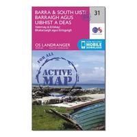
Ordnance Survey Landranger Active 31 Barra & South Uist, Vatersay & Eriskay Map With Digital Version - Orange, Orange: The OS Landranger Map Active is tough, durable and weatherproof. The maps are covered in a lightweight protective...
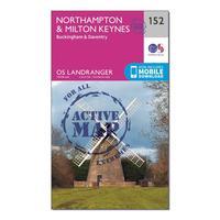
Ordnance Survey Landranger Active 152 Northampton, Milton Keynes, Buckingham & Daventry Map With Digital Version - Orange, Orange: The OS Landranger Map Active is tough, durable and weatherproof. The maps are covered in a lightweight protective...
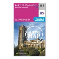
Ordnance Survey Landranger Active 155 Bury St Edmunds, Sudbury & Stowmarket Map With Digital Version - Orange, Orange: The OS Landranger Map Active is tough, durable and weatherproof. The maps are covered in a lightweight protective...
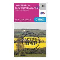
Ordnance Survey Landranger Active 165 Aylesbury, Leighton Buzzard, Thame & Berkhamstead Map With Digital Version - Orange, Orange: The OS Landranger Map Active is tough, durable and weatherproof. The maps are covered in a lightweight protective...
Ordnance Survey Landranger Active 107 Kingston Upon Hull, Beverley & Driffield Map With Digital Version - Orange, Orange: The OS Landranger Map Active is tough, durable and weatherproof. The maps are covered in a lightweight protective...
Ordnance Survey Landranger Active 170 Vale Of Glamorgan, Rhondda & Porthcawl Map With Digital Version - Orange, Orange: The OS Landranger Map Active is tough, durable and weatherproof. The maps are covered in a lightweight protective...
Ordnance Survey Landranger Active 92 Barnard Castle And Surrounding Area Map With Digital Version - Orange, Orange: The OS Landranger Map Active is tough, durable and weatherproof. The maps are covered in a lightweight protective...
Ordnance Survey Landranger Active 193 Taunton & Lyme Regis, Chard & Bridport Map With Digital Version - Orange, Orange: The OS Landranger Map Active is tough, durable and weatherproof. The maps are covered in a lightweight protective...

Ordnance Survey Explorer Active 150 Canterbury & The Isle Of Thanet Map With Digital Version, Orange: The essential map for outdoor activities in all weathers in Canterbury and The Isle of Thanet. The OS Explorer Active...
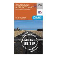
Ordnance Survey Explorer Active 150 Canterbury & The Isle Of Thanet Map With Digital Version, Orange: The essential map for outdoor activities in all weathers in Canterbury and The Isle of Thanet. The OS Explorer Active...
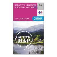
Ordnance Survey Landranger Active 96 Barrow-in-furness & South Lakeland Map With Digital Version - Orange, Orange: The OS Landranger Map is the ideal map for planning the perfect day out. This best known national map series provides...
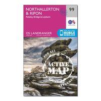
Ordnance Survey Landranger Active 99 Northallerton & Ripon, Pateley Bridge & Leyburn Map With Digital Version - Orange, Orange: The OS Landranger Map is the ideal map for planning the perfect day out. This best known national map series provides...
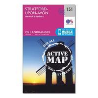
Ordnance Survey Landranger Active 151 Stratford-upon-avon, Warwick & Banbury Map With Digital Version - Orange, Orange: The OS Landranger Map is the ideal map for planning the perfect day out. This best known national map series provides...
Ordnance Survey Landranger Active 137 Ludlow & Church Stretton, Wenlock Edge Map With Digital Version - Orange, Orange: The OS Landranger Map is the ideal map for planning the perfect day out. This best known national map series provides...
Ordnance Survey Landranger Active 89 West Cumbria, Cockermouth & Wast Water Map With Digital Version - Orange, Orange: The OS Landranger Map is the ideal map for planning the perfect day out. This best known national map series provides...
Ordnance Survey Landranger Active 167 Chelmsford, Harlow & Bishop\'s Stortford Map With Digital Version - Orange, Orange: The OS Landranger Map is the ideal map for planning the perfect day out. This best known national map series provides...
