Choose Which Site You Want To See


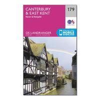
Ordnance Survey Landranger 179 Canterbury & East Kent, Dover & Margate Map With Digital Version, Orange: The OS Landranger Map is the ideal map for planning the perfect day out. This best known national map series provides...
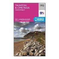
Ordnance Survey Landranger 193 Taunton & Lyme Regis, Chard & Bridport Map With Digital Version, Orange: The OS Landranger Map is the ideal map for planning the perfect day out. This best known national map series provides...
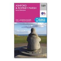
Ordnance Survey Landranger 189 Ashford & Romney Marsh, Rye & Folkestone Map With Digital Version, Orange: The OS Landranger Map is the ideal map for planning the perfect day out. This best known national map series provides...

Ordnance Survey Landranger 195 Bournemouth & Purbeck, Wimborne Minster & Ringwood Map With Digital Version, Orange: The OS Landranger Map is the ideal map for planning the perfect day out. This best known national map series provides...
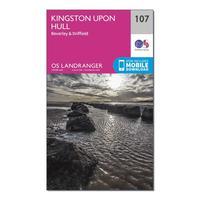
Ordnance Survey Landranger 107 Kingston Upon Hull, Beverley & Driffield Map With Digital Version, Orange: The OS Landranger Map is the ideal map for planning the perfect day out. This best known national map series provides...
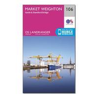
Ordnance Survey Landranger 106 Market Weighton, Goole & Stamford Bridge Map With Digital Version, Orange: The OS Landranger Map is the ideal map for planning the perfect day out. This best known national map series provides...
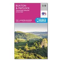
Ordnance Survey Landranger 119 Buxton, Matlock, Bakewell & Dove Dale Map With Digital Version, Orange: The OS Landranger Map is the ideal map for planning the perfect day out. This best known national map series provides...
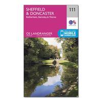
Ordnance Survey Landranger 111 Sheffield & Doncaster, Rotherham, Barnsley & Thorne Map With Digital Version, Orange: The OS Landranger Map is the ideal map for planning the perfect day out. This best known national map series provides...
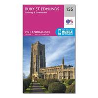
Ordnance Survey Landranger 155 Bury St Edmunds, Sudbury & Stowmarket Map With Digital Version, Orange: The OS Landranger Map is the ideal map for planning the perfect day out. This best known national map series provides...
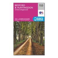
Ordnance Survey Landranger 153 Bedford, Huntingdon, St Neots & Biggleswade Map With Digital Version, Orange: The OS Landranger Map is the ideal map for planning the perfect day out. This best known national map series provides...
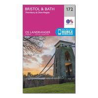
Ordnance Survey Landranger 172 Bristol & Bath, Thornbury & Chew Magna Map With Digital Version, Orange: The OS Landranger Map is the ideal map for planning the perfect day out. This best known national map series provides...
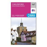
Ordnance Survey Landranger 167 Chelmsford, Harlow & Bishop\'s Stortford Map With Digital Version, Orange: The OS Landranger Map is the ideal map for planning the perfect day out. This best known national map series provides...
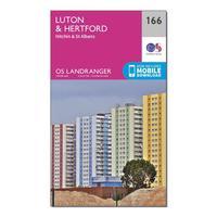
Ordnance Survey Landranger 166 Luton, Hertford, Hitchin & St Albans Map With Digital Version, Orange: The OS Landranger Map is the ideal map for planning the perfect day out. This best known national map series provides...
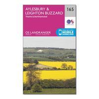
Ordnance Survey Landranger 165 Aylesbury, Leighton Buzzard, Thame & Berkhamstead Map With Digital Version, Orange: The OS Landranger Map is the ideal map for planning the perfect day out. This best known national map series provides...
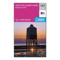
Ordnance Survey Landranger 182 Weston-super-mare, Bridgwater & Wells Map With Digital Version, Orange: The OS Landranger Map is the ideal map for planning the perfect day out. This best known national map series provides...
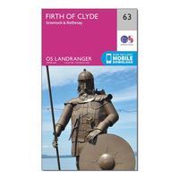
Ordnance Survey Landranger 63 Firth Of Clyde, Greenock & Rothesay Map With Digital Version, Orange: The OS Landranger Map is the ideal map for planning the perfect day out. This best known national map series provides...
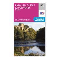
Ordnance Survey Landranger 92 Barnard Castle And Surrounding Area Map With Digital Version, Orange: The OS Landranger Map is the ideal map for planning the perfect day out. This best known national map series provides...
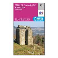
Ordnance Survey Landranger 73 Peebles, Galashiels & Selkirk, Tweed Valley Map With Digital Version, Orange: The OS Landranger Map is the ideal map for planning the perfect day out. This best known national map series provides...
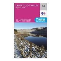
Ordnance Survey Landranger 72 Upper Clyde Valley, Biggar & Lanark Map With Digital Version, Orange: The OS Landranger Map is the ideal map for planning the perfect day out. This best known national map series provides...
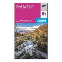
Ordnance Survey Landranger 89 West Cumbria, Cockermouth & Wast Water Map With Digital Version, Orange: The OS Landranger Map is the ideal map for planning the perfect day out. This best known national map series provides...
